Autocad Projects

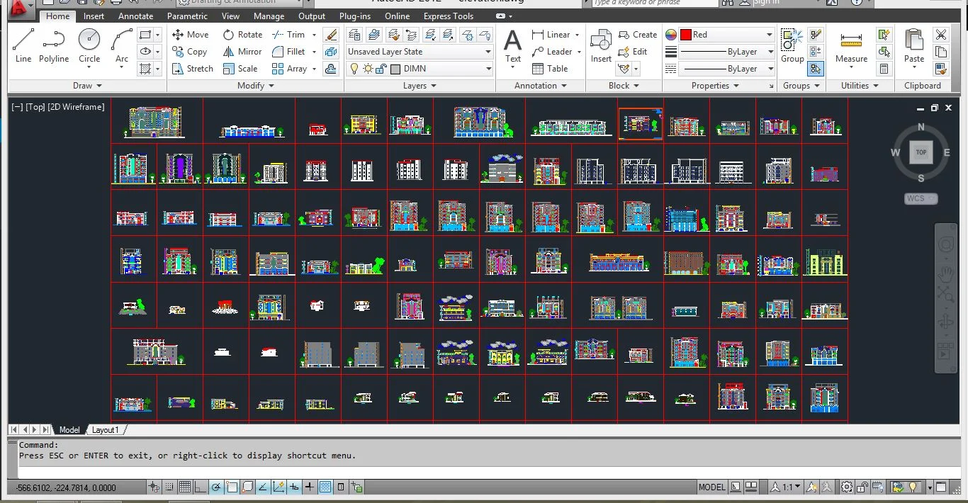
Collection of Elevation Design in Autocad

Elevation Design in Autocad

The elevation of a geographic location is its height above or below a fixed reference point, most commonly a reference geoid, a mathematical model of the Earth’s sea level as an equipotential gravitational surface (see Geodetic system, vertical datum). Elevation, or geometric height, is mainly used when referring to points on the Earth’s surface, while altitude or geopotential height is used for points above the surface, such as an aircraft in flight or a spacecraft in orbit, and depth is used for points below the surface.


Related Articles

Leave a Reply

Your email address will not be published. Required fields are marked *

Back to top button
Follow Engineers

Civil Engineering Job Update in WhatsApp

click on the below link to join
Join Now
close-link
Join over 1000+ Civil Engineers!

Civil Engineering Job Updates in WhatsApp

Daily Civil Jobs Updates click on the below link.
JOIN NOW!
close-link
World’s Biggest Cruise Ship Construction Work Checklist Autocad 2d Plan with 3d Elevation