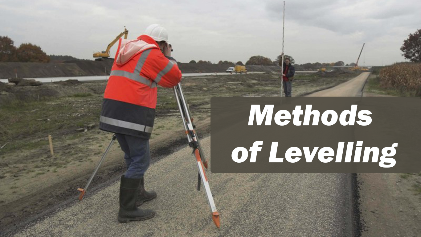
Methods of Levelling

Methods of Levelling
The following methods are used to determine the difference in elevation of various points:
- Barometric levelling
- Hypsometric levelling
- Direct levelling and
- Indirect levelling.
Barometric Levelling
This method depends on the principle that atmospheric pressure depends upon the elevation of place.Barometer is used to measure the atmospheric pressure and hence elevation is computed. However it is not accurate method since the atmospheric pressure depends upon season and temperature also. It may be used in exploratory surveys.
Hypsometric Levelling
This is based on the principle that boiling point of water decreases with the elevation of the place. Hence the elevation difference between two points may be found by noting the difference in boiling point of water in the two places. This method is also useful only for exploratory survey.
Direct Levelling
It is common form of levelling in all engineering projects. In this method horizontal sight is taken on a graduated staff and the difference in the elevation of line of sight and ground at which staff is held are found. Knowing the height of line of sight from the instrument station the difference in the elevations of instrument station and the ground on which staff is held can be found. This method is thoroughly explained in next article.
Indirect Methods
In this method instruments are used to measure the vertical angles. Distance between the instrument and staff is measured by various methods. Then using trigonometric relations, the difference in elevation can be computed. This is considered beyond the scope of this book. One can find details of such methods in books on surveying and levelling.
Read More Factors affecting the Measuring Procedure
Terms Used In Direct Method of Levelling
The following terms are used in direct method of levelling:
(i) Plane of Collimation: It is the reduced level of plane of sight with respect to the datum selected. It is also known as ‘height of instrument’. It should not be confused with the height of telescope from the ground where the instrument is set.
(ii) Back Sight (BS): It is the sight taken on a level staff held on the point of known elevation with an intension of determining the plane of collimation. It is always the first reading after the instrument is set in a place. It is also known as plus sight, since this reading is to be added to RL of the point (Benchmark or change point) to get plane of collimation.
(iii) Intermediate Sight (IS): Sights taken on staff after back sight (first sight) and before the last sight (fore sight) are known as intermediate sights. The intension of taking these readings is to find the reduced levels of the points where staff is held. These sights are known as ‘minus sights’ since the IS reading is to be subtracted from plane of collimation to get RL of the point where staff is held.
(iv) Fore Sight (FS): This is the last reading taken from the instrument station before shifting it or just before ending the work. This is also a minus sight.
(v) Change Point (CP): This is also known as turning point (TP). This is a point on which both fore sights and back sights are taken. After taking fore sight on this point instrument is set at some other convenient point and back sight is taken on the staff held at the same point. The two readings help in establishing the new plane of collimation with respect to the earlier datum. Since there is time gap between taking the two sights on the change point, it is advisable to select change point on a well defined point.


